
The study area and situation is characterised by existing data from Copernicus Sentinel-2, Sentinel-3, Sentinel-5P (S5P), (SMOS) and planned missions including CO2M, FLEX, BIOMASS). Additionally data from ESA Earth Explorer missions, and MetOp (ASCAT)/Metop-NG and third-party missions (AMSR-2, MODIS, PRISMA, EnMAP) will be utilised to inform the ground and air campaigns and subsequent analysis. The focus will be on L2-data from the different sources.
The interest for GNSS sensors is also motivated by next INPE’s satellite mission, Amazonia 1B/SabiaMar satellite (launch 2026 TBC), that will have a GNSS payload, with dual polarisation, dual frequency GNSS measurements, using a 2x2 antenna adapted from ESA’s HydroGNSS scout mission (it will be provided by SSTL)
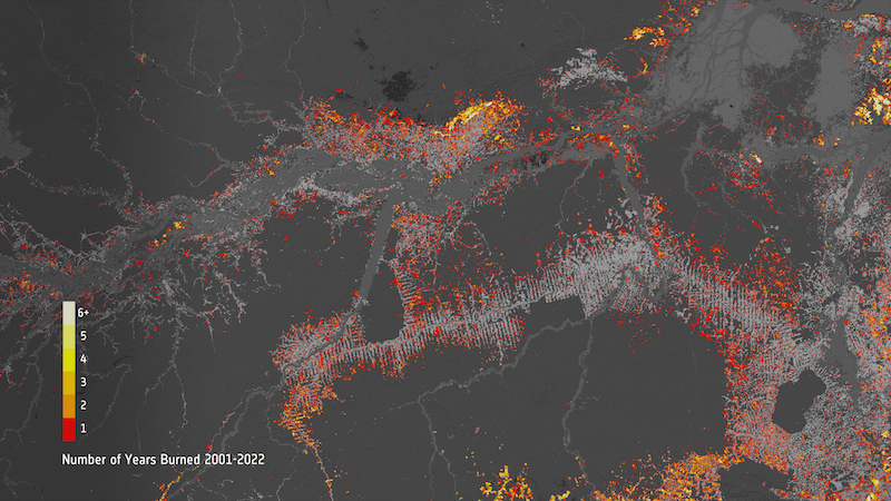
The table below lists several satellites of interest. This list will likely be expanded on in the period up to the airborne campaign and details of overpass times, resolution and viewing geometry for the full airborne campaign period for each satellite will be acquired to allow efficient flight planning. The ability to carry our airborne observations concurrent with overpasses will depend on meteorological and atmospheric conditions, locations, timing and accessibility of fire activity, optimal instrument operation conditions and airport or permission restrictions.
Satellites of interest considered for validation activities.
| Satellite / Mission | Instrument(s) of Interest | Main Measurements | Orbit & Coverage |
|---|---|---|---|
| MicroCarb | NIR/SWIR spectrometer | CO₂ column concentrations (XCO₂) | Sun-synchronous, ~650 km |
| MetOp (IASI) | IASI (Infrared Atmospheric Sounding Interferometer) | Temperature & humidity profiles, greenhouse gases (CO₂, CH₄, N₂O, O₃), trace gases | Sun-synchronous, ~817 km, global twice daily |
| Sentinel-3A | SLSTR (Sea and Land Surface Temperature Radiometer) | Sea-surface & land-surface temperature, fire detection, albedo | Sun-synchronous, ~814.5 km, global every 2 days (with OLCI synergy) |
| Sentinel-3B | SLSTR | Same as above, flies in tandem with Sentinel-3A for improved coverage | Sun-synchronous, ~814.5 km |
| Suomi NPP | VIIRS (Visible Infrared Imaging Radiometer Suite) | Ocean colour, sea & land surface temperature, night-time lights, vegetation indices, aerosols | Sun-synchronous, ~824 km, daily global |
| Sentinel-5P | TROPOMI (Tropospheric Monitoring Instrument) | Atmospheric composition: O₃, NO₂, SO₂, CO, CH₄, aerosols, clouds | Sun-synchronous, ~824 km, daily global |
| Sentinel-2 (A & B) | MSI (Multispectral Instrument) | High-res optical imaging: land use/cover, vegetation | Sun-synchronous, ~786 km, 5-day revisit with A+B |