Summary
The Ocean Colour Climate Change Initiative project aims to:
- Develop and validate algorithms to meet the Ocean Colour GCOS ECV requirements for consistent, stable, error-characterised global satellite data products from multi-sensor data archives.
- Produce and validate, within an R&D context, the most complete and consistent possible time series of multi-sensor global satellite data products for climate research and modelling.
- Optimise the impact of all ocean colour satellite missions on climate data records
- Generate complete specifications for an operational production system.
- Strengthen inter-disciplinary cooperation between international Earth observation, climate research and modelling communities, in pursuit of scientific excellence.
The Ocean Colour project has started CCI+ phase 2, which started in May 2025. This phase will extend and improve the ocean colour (OC) data record, meeting the GCOS requirements for the ECV; address requirements of and interact with climate science community; maximise the use of European EO missions, notably MERIS and OLCI (CR-3) data records. Since OC is one of the original “theme (ii)” ECVs started in 2010, many aspects are mature, such as the processing system which has been moved into an operational setting in Copernicus (CR-4). Hence, this phase will build strongly on the foundations of earlier phases of OC CCI in terms of the processing system, the expertise within the consortium (notably in developing the R&D), the previous deliverables, and most importantly the interaction with the user community which is mature and already makes extensive use of the ESA OC CCI data.
CCI+ phase 1 started in April 2019, and recently released the v6.0 dataset to the international science community in 2022 following internal quality control and analysis. The team also produced regular updates (or Intermediate CDRs) on a three-monthly basis through the UK funded EO climate Information Service and currently the dataset extends to 31 December 2024.
OC CCI+ phase 1 was led by Plymouth Marine Laboratory (Science lead) (UK), with Brockmann Consult (Germany), Pixalytics (UK), HEREON (Germany), Joint Research Centre (EU), HYGEOS (France), CNR (Italy) and University of Lisbon (Portugal).
Background
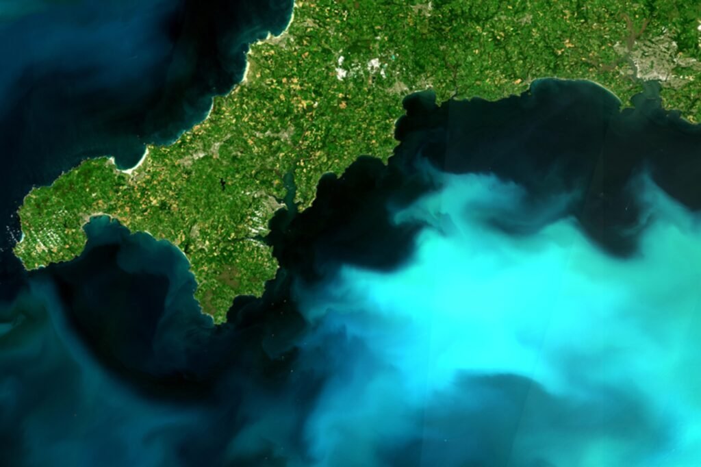
Ocean colour radiometry from space provides vital insights into the spectral variations of ocean reflectance and through analysis of ocean colour, researchers can study marine ecosystems.

Extracting accurate ocean colour data is complex due to atmospheric contamination and sensor calibration. Ensuring a consistent, long-term dataset requires integration of data from multiple satellite missions, a challenge that the ESA Ocean Colour Climate Change Initiative (OC CCI) has addressed since 2010.
OC CCI+ further enhances and extends the ocean colour data record, aligning with Global Climate Observing System (GCOS) requirements and supporting climate science through improved accuracy and accessibility. It maximises the use of European Earth Observation missions, such as MERIS and OLCI, to provide high-quality, climate-relevant ocean colour data, essential for understanding long-term oceanic and atmospheric interactions.

