
The airborne component of this project greatly extends the observational coverage able to be provided by the project. It collects a series of unique datasets, but also duplicates various types of data collected from satellites and from the tower-based instruments – but now at far higher spatial detail and over far wider areas respectively. Airborne measurements include both atmospheric sampling and remote sensing, both of which help assess how representative the projects fixed tower-based observations are of the wider landscapes existing within the study area whilst also acting as a ‘zoom lens’ for satellite observations. When combined, these data will support carbon flux estimation approaches that are applied at wide scale over Amazonian landcovers, and will also help improve and validate terrestrial ecosystem models applied within the region.
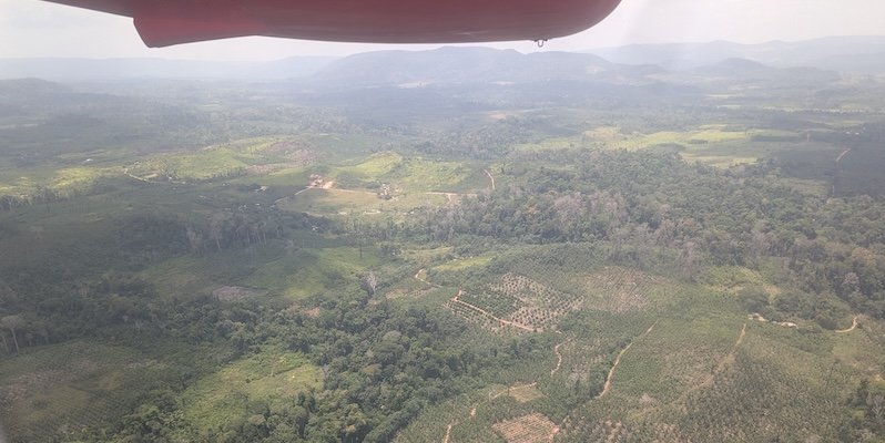
Airborne operations occurred between late September and the end of October 2025, with flights over both primary and secondary forest, over deforested areas, over active fires, and sites of previous fires stretching back in some cases decades.
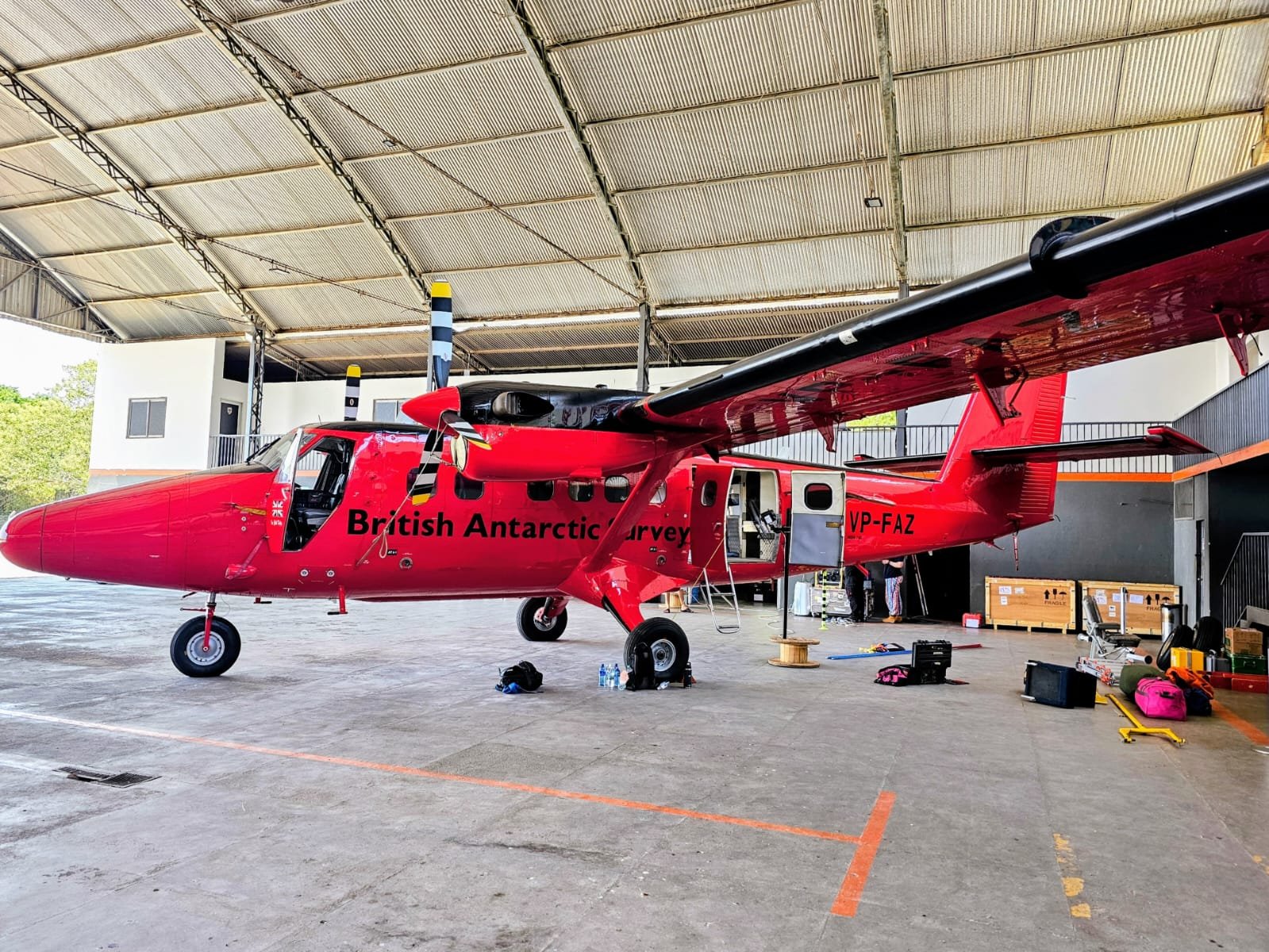
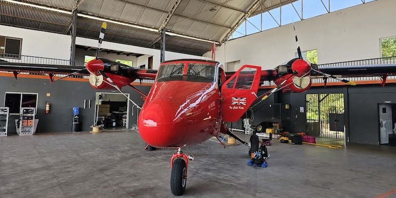
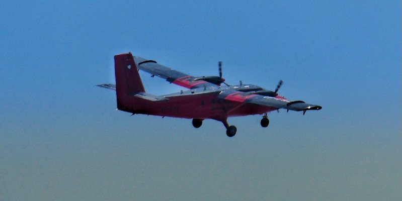
Measurements are made using the Twin Otter aircraft from the British Antarctic Survey (BAS), within which is carried a variety of remote sensing and in situ atmospheric sampling instrumentation provided mainly from King’s College London, from the UK’s National Centre for Earth Observation Airborne Earth Observatory (NAEO), and from BAS.
All airborne activity takes place within a predefined Area of Operation (AOO), agreed by the project with kind permission of the Brazilian Airforce
Airborne observations
The Twin Otter aircraft is fitted with a variety of sensors to provide its scientific measurement capability. Most of the remote sensing takes place from ~ 2.5 km above ground level, providing pixel sizes of a few metres for most of the instrumentation. These sensors can be sub-divided into those performing remote sensing and those providing in-situ atmospheric sampling surveys:
Remote Sensing Survey
Airborne remote sensing instrumentation provide data used to infer land-surface characteristics such as landcover and canopy height, as well as biophysical processes influencing GHG fluxes between the land and the atmosphere, such as canopy temperature and Solar Induced Fluorescence (SIF).
Airborne remote sensing over actively burning fires provides information on the radiative power output of the fires, the rate of combustion and the carbon flux, whilst that of the smoke using a UV-VIS spectrometer from the Royal Belgian Institute for Space Aeronomy (BIRA) provides information on certain smoke trace gas constituents - such as NO2.
In-situ sampling
In-situ sampling instruments involves collecting samples of air from outside the aircraft and measuring its constituent gases and particulates, which along with other variables such as wind speed and direction that enable certain of these concentration measures to be converted into fluxes, for example of GHGs going into and out of the forest and other land covers below.
The British Antarctic Survey Twin Otter research aircraft
Core instrumentation used as part of the airborne campaign:
| Remote Sensing: | In-Situ: |
|---|---|
| Telops HyperCam Methane | MIRO MGA-10 |
| InfraTec IR8300 | DusTrak DRX/II |
| Optris PI400 / PIR uc 605 or HD Head | AlphaSense OPC |
| Specim AisaIBIS | Pressure transducer |
| SWING | PAH Sampling |
| Atmospheric Profiler |