

Watch recordings of previous sessions
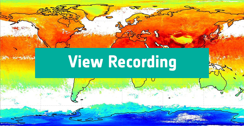
Satellite retrievals of carbon dioxide and methane & related applications
Date: 18 February 2026
Speaker: Michael Buchwitz
This webinar with Michael Buchwitz (University of Bremen) explored space-based observations of CO₂ and methane, explained how atmospheric concentrations were retrieved from satellite measurements, how these data were used to assess human-made emissions and natural sinks, and highlighted the ESA GHG-CCI project and its links to wider climate services.

Sea level rise & climate change: Insights from CCI Data
Date: 18th March 2026
Speaker: Anny Cazenave
This webinar explored global to local sea level rise, explained how satellite data (ECVs) is processed and used to track changes. It examined key drivers like ocean warming and ice melt due to human-caused climate change, along with coastal factors such as land subsidence, and considered future impacts on coastal communities.
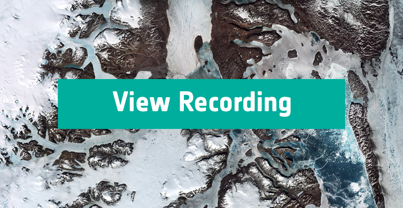
Permafrost and climate change: Insights from CCI data
Date: 22 April 2026
Speaker: Annett Bartsch
This webinar explored rising ground temperatures in permafrost regions as a key indicator of climate change and how satellite and ground-based observations reveal accelerating changes in both lowland permafrost and mountain rock glaciers.

Satellite retrievals of vegetation parameters
Date: 20 May 2026
Speaker: Christiaan van der Tol
This webinar presented a 21-year, high-resolution satellite dataset of vegetation properties, including foliage density (Leaf Area Index) and light absorption (FPAR), both key climate variables influencing the carbon cycle.
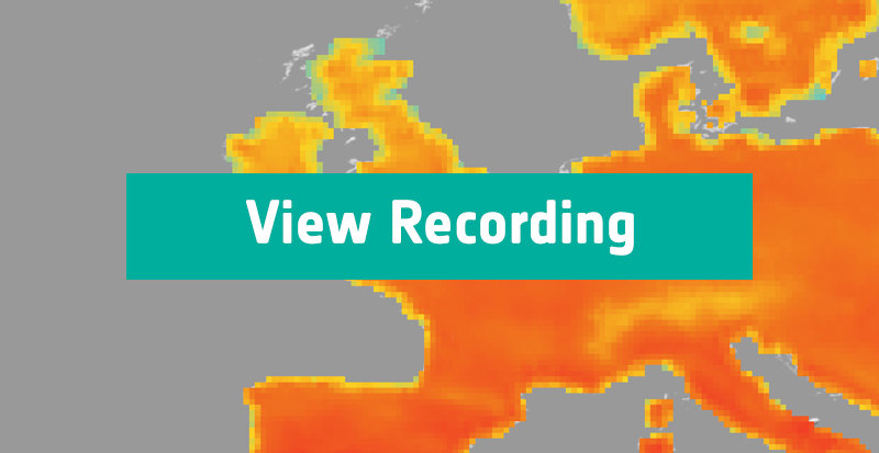
Satellite retrievals for land surface temperature & related applications
Date: 17 June 2026
Speaker: Abigail Waring
This webinar explored Land Surface Temperature (LST) as a key indicator of climate change, showing how it is derived from satellite observations and why it is essential for environmental monitoring and climate research. It also highlighted how LST data is validated and quality-controlled to ensure accurate, reliable insights.
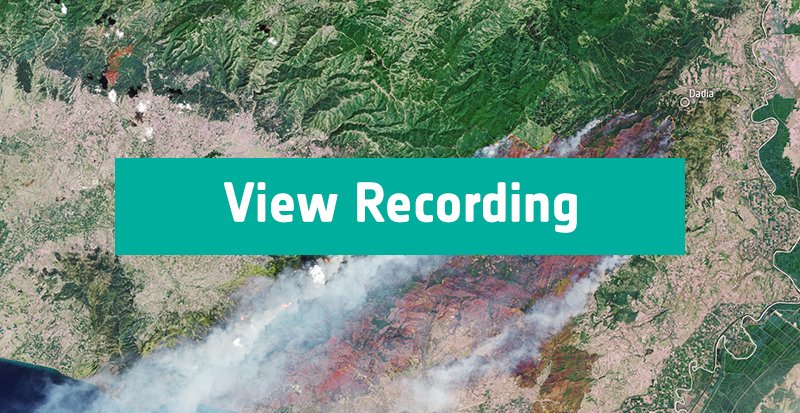
Satellite retrievals for wildfires & related applications
Date: 22 July 2026
Speaker: Emilio Chuvieco
This webinar examined how wildfires impact ecosystems and vegetation, how climate trends influence wildfire risk, and how fires, in turn, affect the climate through emissions, biomass changes, and planetary albedo.

From satellite observations to climate indicators: Improving our understanding of aerosol–cloud interactions with SATACI
Date: 23 September 2026
Speaker: Marta Luffarelli
This webinar presented the SATACI project, using satellite data to study aerosol–cloud interactions - a key uncertainty in climate forcing. Discover how SATACI quantifies cloud responses, dust-driven glaciation, and introduces a new aerosol–cloud climate indicator for monitoring and model evaluation.
From satellite observations to climate indicators: Reducing uncertainties of sea level rise due to melting ice sheets with PISCO
Date: 28 September 2026
Speakers: Ruth Mottram, Tabea Rettelbach, Priscilla Mooney, Oskar Landgren
This webinar presented the Processes for Ice Sheets in Climate models and Earth Observation (PISCO) project and discussed how improving our understanding of ice sheet surface processes can help reduce uncertainties in future sea level rise projections.